Neighborhood Gardens

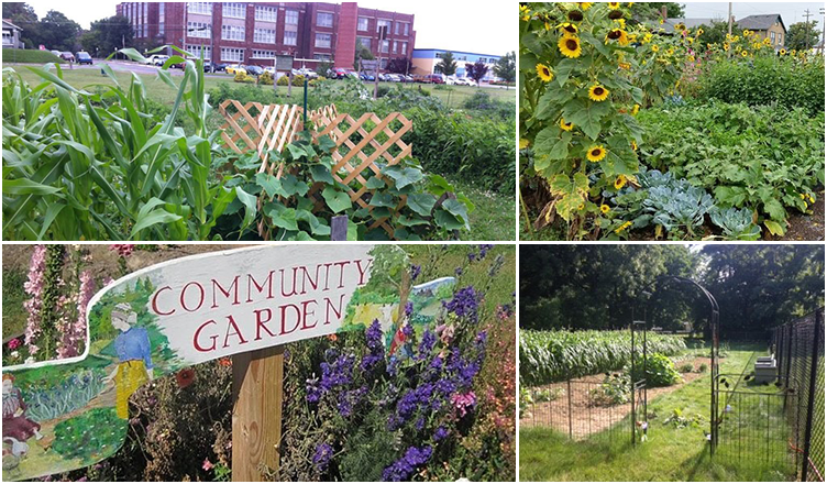
Gardens can be a great way to beautify your neighborhood, mitigate small scale flooding and drainage issues, and even produce fresh food for the community.

Gardens in Muncie

The Muncie Urban Garden Initiative (UGI) networks resources and community engagement to encourage more local urban food production. Gardens in the UGI network cover 1.75 acres across Muncie; these do not include hundreds of backyard gardens that are in production as well.

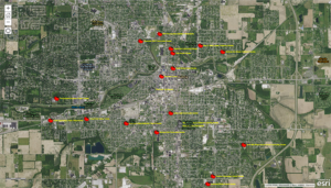
View maps of current UGI garden locations and potential urban garden properties.

UGI has many resources for potential gardeners, including a Facebook page, books, tools, rototiller, straw, compost, seeds, plants, and experienced gardeners to educate. If your neighborhood, church, school, or business.

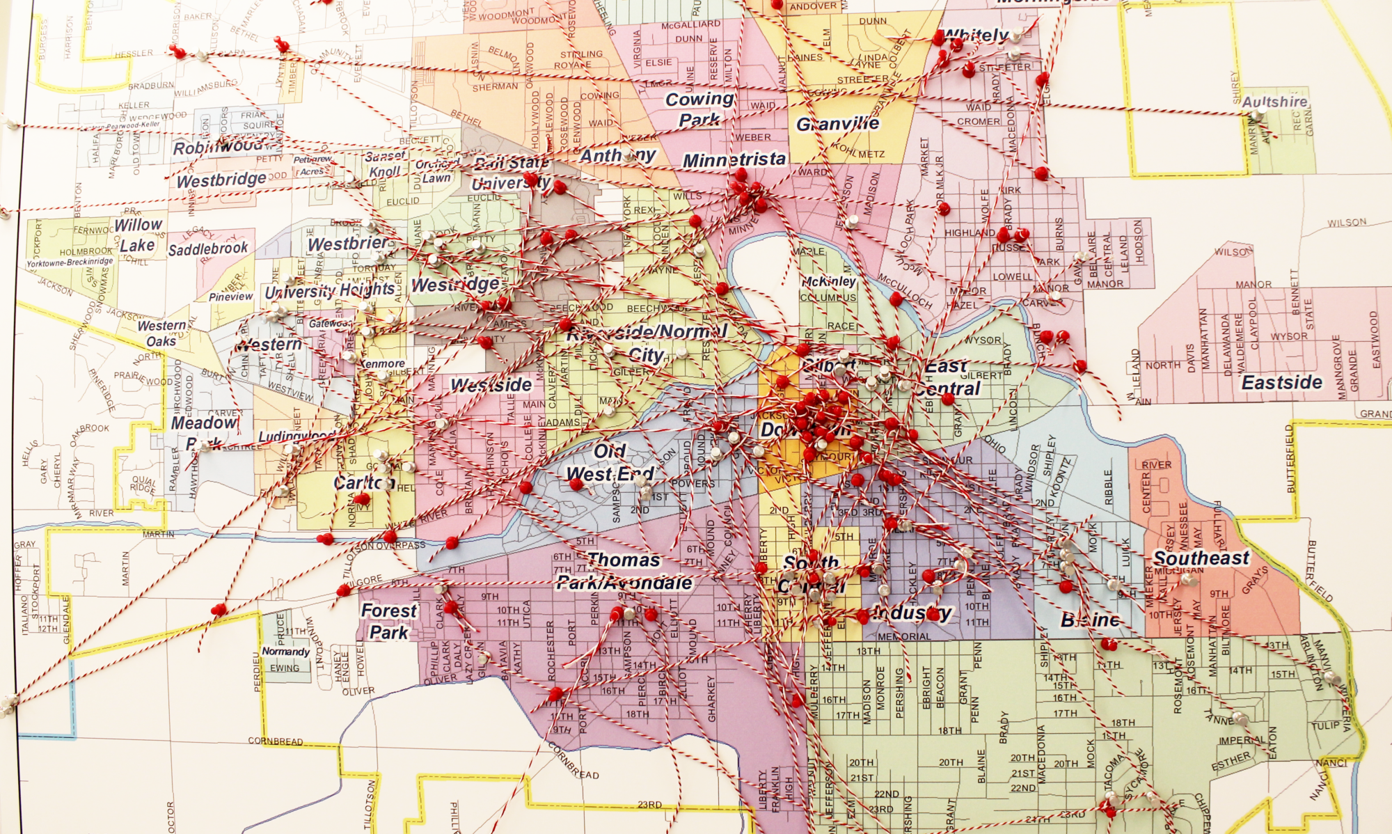
Muncie also has an Urban Garden Committee.  They have compiled a map of urban garden resources that you can view here.

Local Farmer’s Markets

Flavor Fresh Mobile Market Tree Hill Farms
Tuesdays, Thursdays & Fridays
(Locations, start times, & options vary)
Landess Farm Market Daleville
Sunday-Friday | 10am-6pm
(WIC/SFMNP)
Minnetrista Farmers Market
Saturdays | 8am-212pm
(WIC/SFMN_ & IU Health Bucks)
Muncie Makers Market
Saturdays | 4pm-7pm
(SNAP)
Northern Tropics Greenhouse
Monday-Saturday | 12pm-6pm
Open Door Farmers Market
Tuesday-Thursdays | 11am-2pm
(Open July 18th | WIC/SFMNP)
Yorktown Farmers Market
Wednesdays | 4:30pm-7pm
(SNAP & WIC/SFMNP)

Rain Gardens

Rain gardens are shallow landscaped area that collects rain water from roofs, driveways, sidewalks and lawns and filters it through soil and plants before it enters storm drains or streams.

Stormwater Educator Jason Donati from the Muncie Sanitary District created a presentation on creating your own rain garden: “Going Green with Rain Barrels and Rain Gardens.”

Learn more with this Rain Garden brochure from the Hoosier Heartland Resource Conservation and Development Council and the Clear Choices, Clean Water website.

Western Woods Neighborhood

Neighborhood Association Meetings

The Western Woods Neighborhood Association meets on the fourth Thursday of each month at 6:00-7:00PM at The Café at the Crossing: 3506 W Jackson St Suite 2 & 3, Muncie, IN 47304. All are welcome.

Neighborhood Action Plan

MAP Westernwood Neighborhood Plan

On the Web

Facebook – https://www.facebook.com/profile.php?id=100081464053049

Email: westernwoodna@gmail.com

Neighborhood Map

Western-Woods-map (pdf)

Join the private social network for your neighborhood at Nextdoor.

Westminster Village Neighborhood

Westminster Village header

History:

Westminster Village is a not-for-profit community serving senior adults.  It was established on the outskirts of Muncie in 1974 on land donated by Dr. Robert Cooper, former member of the Science Department at Ball State University.  The original vision was put forth by Dr. O.B. Christy who began to research the community needs of senior citizens, and Muncie veterinarian, Dr. Norman Miller who met with local community leaders and bank executives. They created a committee and developed a feasibility study for what would later become Westminster Village with the support of the Presbyterian Housing Program of Indianapolis (PHP).

It became self-sufficient and independent in 1980 due to changes within their funding organization and has since established itself as what its website describes as, “[…]an independent, full-service retirement community, governed by a local Board and staffed by local people, who are dedicated to meeting the needs of the residents who live here.”  Visit their website to read more about their history.

Neighborhood Association:

This is a special, demographic based neighborhood, and as such, does not have a traditional neighborhood association, but you can find out more about their leadership, boards, and management teams here.

On the Web:

Westminster Village website

Email: info@wvmuncie.com

Do you have information about this area that you’d like to share?  Contact Building Better Neighborhoods.  We’d love to hear about it!

Join the private social network for your neighborhood at Nextdoor.

Whitely Neighborhood

Whitely Header

Whitely is “An Education First Community.”

The neighborhood goals are:

  1. Beautification
  2. Safety and Security
  3. Education and Health
  4. Employment and Entrepreneurs
  5. Pride and Events
  6. Resource Development
  7. Marketing and Public Relations

History

Whitely Town, Indiana was founded as its own city in the early 1890s by a wealthy man from Ohio named William Needham Whitely, who was known at the time as a great inventor and “the Reaper King.”  He envisioned that this place would become one of the major centers of industry in Indiana.  He chose this location during the “gas boom era” during which there were plentiful and cheap natural gas fields in east central Indiana.  Drilling for wells in Delaware County was fast and furious, but there wasn’t enough infrastructure to support the numbers of incoming workers from Ohio, Kentucky, and New York.

William, along with his brothers Burt and Amos ultimately chose Muncie on the advice of new Muncie resident and friend from Ohio, George F. McCulloch.  McCulloch, for whom “Woods Park” was renamed, helped orchestrate a great business offer and the Whitelys bought 1200 acres of the Wysor tract that was newly available and started to build Whitely Town.  The centerpiece was the William N. Whitely Harvesting Machine Company, which was built on the grounds that are now home to East Central Recycling.  Soon, a new railroad was built across the White River.  Later came the Whitely Inn, White Stables, Whitely Steel Co, Whitely Gas Co, Whitely Bakery, Whitely Public School (what is now Shaffer Chapel), Whitely Iron and Casting Co, Whitely Malleable Castings, Whitely Land Co, Whitely Tin Shop, and more. (source)

BSU Immersive Learning – Historical Maps

Neighborhood Association Meetings

The Whitely Neighborhood Association meets at 5:30 pm on the second Monday of every month at the Union Missionary Baptist Church. All are welcome.

On the Web

Webpage – http://whitelycc.org/

Facebook – https://www.facebook.com/whitelycc

Twitter – @WhitelyCC

Email – whitelycc@gmail.com

Neighborhood Action Plan

In fall 2011, Students from the Ball State University College of Architecture and Planning, under the direction of BSU faculty member Lisa Dunaway, worked alongside the Whitely Community Council to develop the Whitely Neighborhood Action Plan (WNAP). Since 2011, the WNAP has guided the neighborhood towards successful implementation of many of the identified action steps.

Neighborhood Maps

Whitely Map (pdf)

Whitely Neighborhood Areas (pdf)

Whitely self guided tour (pdf)

Join the private social network for your neighborhood at Nextdoor.