More info about Westbrier will be posted as it becomes available.
Do you have information about this area that you’d like to share? Contact Building Better Neighborhoods. We’d love to hear about it!

Connecting Muncie Neighborhood partners and resources
Useful resources and tools
More info about Westbrier will be posted as it becomes available.
Do you have information about this area that you’d like to share? Contact Building Better Neighborhoods. We’d love to hear about it!
More info about Western Oaks will be posted as it becomes available.
Do you have information about this area that you’d like to share? Contact Building Better Neighborhoods. We’d love to hear about it!
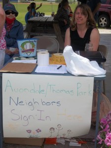
 The Thomas Park/Avondale neighborhood meets on the third Wednesday of every month at 6:00 pm at the Ross Center, 1110 W. 10th St. All are welcome.
“Avondale/Thomas Park Neighborhood includes the area from Batavia to Walnut and the Tracks that run diagonal along Kilgore to 29th St. by Crestview Golf Course. We are striving to make the Avondale/Thomas Park Neighborhood a safe and enjoyable place to live, work, play, and worship”
– Avondalethomaspark on Facebook
Facebook – https://www.facebook.com/groups/avondalethomaspark/
Neighborhood Action Plan – https://thomasparkavondale.wordpress.com
CAP Students Design, Help Dig in to Enhance Community Garden
Thomas-Park-Avondale-map (pdf)
A steering committee of residents living in both the Sunset Knoll and Johnson Woods neighborhoods are meeting in June 2015 to begin planning for joint neighborhood association meetings. Please check back for the date of the first neighborhood association meeting.
Facebook – https://www.facebook.com/Sunset-KnollJohnson-Woods-417640975102877/
Sunset Knoll map (pdf)
South Central neighborhood is a part of the 8twelve Coalition (https://8twelvemuncie.com/south-central/). They work collectively with residents to create annual action plans.
The arrival of the railroads and the discovery of natural gas in the area resulted in the annexation of what is now the north portion of the neighborhood in 1875. The remaining portion of the neighborhood was annexed by the city in 1905. South-Central began as a community for Muncie’s manufacturing & industrial workers. The neighborhood is 220 acres in size and is located just south of the city’s downtown. It is bounded by E. Willard St. on the north, Memorial Drive on the south, S. Hoyt Ave. on the west, and S. Madison St. on the east.
South-Central meets on the 4th Monday of the Month at 6:00 pm at Bridges Community Services, 318 W. 8th St. All are welcome!
Facebook – https://www.facebook.com/southcentralmuncie
South Central map (pdf)
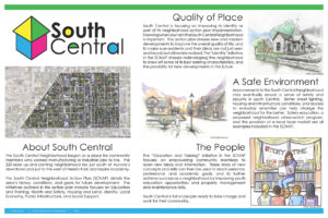
In the fall of 2012, Ball State University students studying in the College of Architecture and Urban Planning worked under the direction of BSU faculty member Lisa Dunaway and alongside neighborhood residents to create the South Central Neighborhood Action Plan (SCNAP). The SCNAP identifies seven separate initiatives that will help improve and enhance the neighborhood.

(click the image to view the full poster as a pdf)
The Robinwood Neighborhood Association Board meets the first Tuesday of every month at a board member’s residence. Agendas, minutes and treasurer’s reports are published under the “News” tab on their website.
Regular meetings are held quarterly, and the annual meeting is held in the fall.
Website – http://robinwoodmuncie.weebly.com/ | https://robinwoodneighborhood.com/
FaceBook – www.facebook.com/robinwoodestatesmuncie
Email – robinwoodmuncie@gmail.com
NextDoor – http://storer.nextdoor.com
Newsletters:
Neighborhood Restrictions, Conditions, and Limitations (pdf)
Robinwood map (pdf)
Robinwood Addition Survey (pdf)