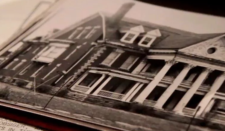
Photo above by Chris Flook
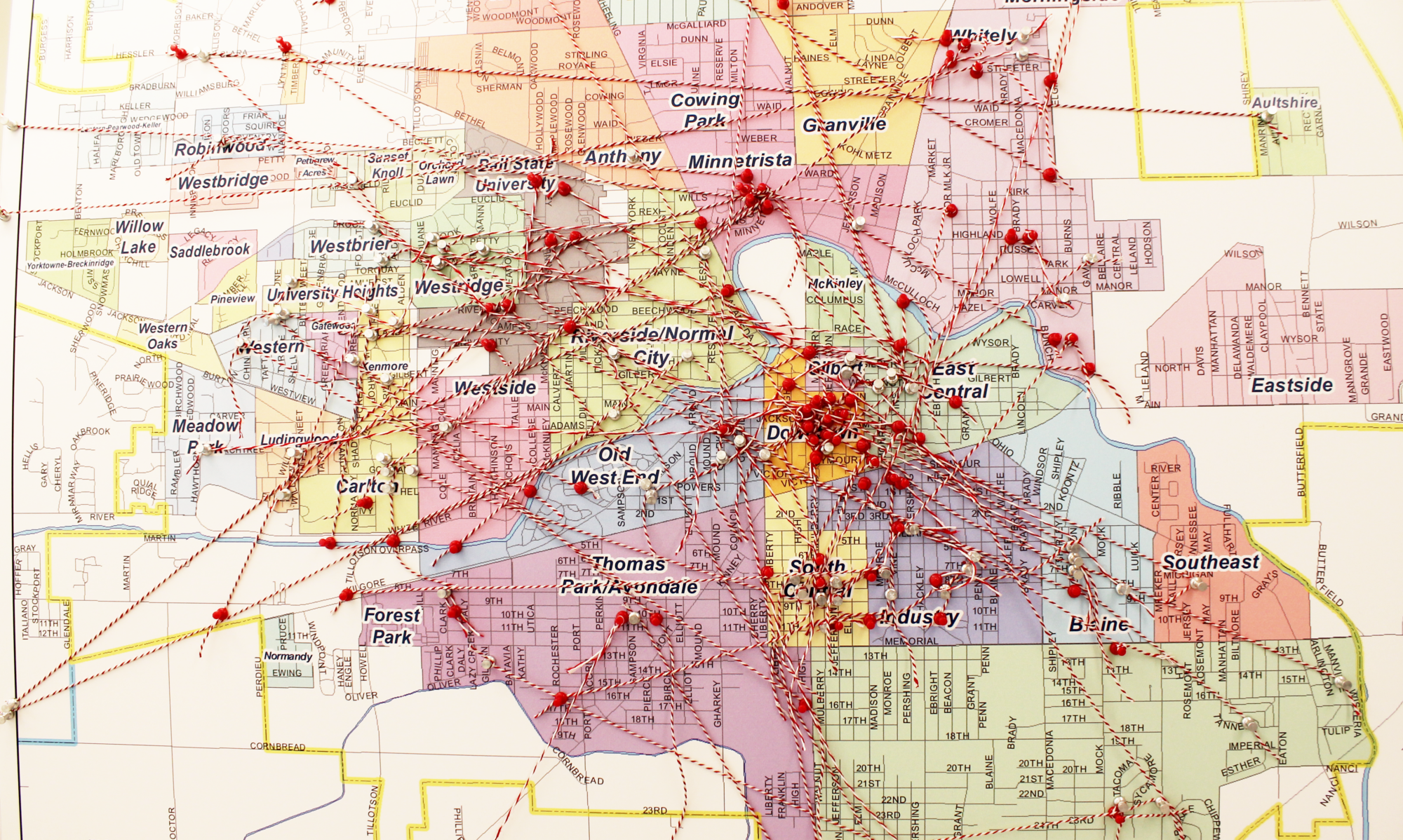
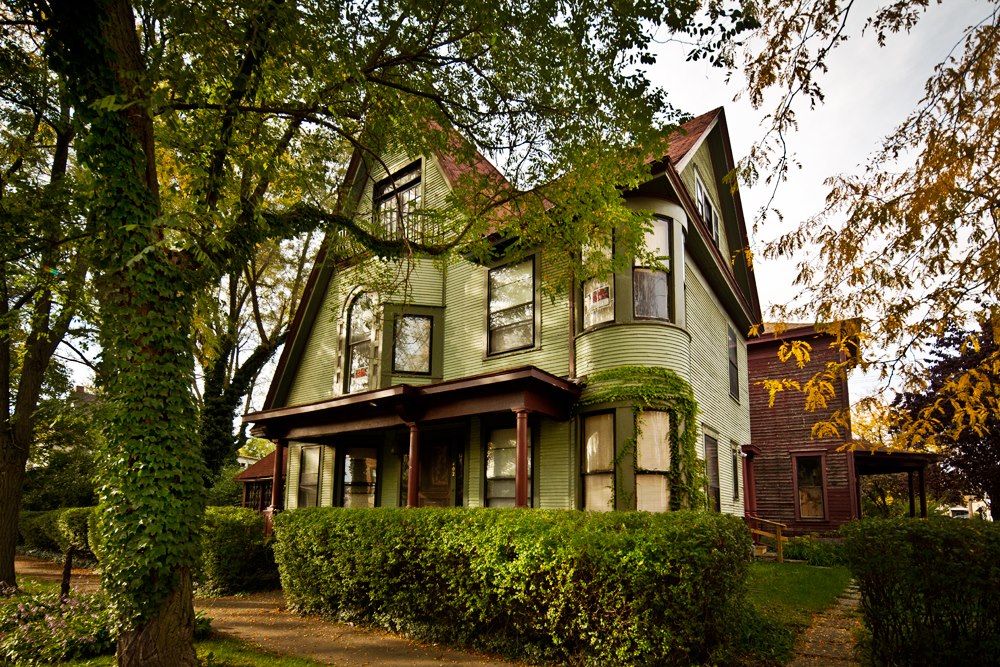
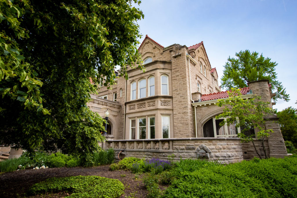
Have you ever wondered why a certain house in your neighborhood is built of brick and set far off the road while all of the surrounding homes are wood-sided and closer to the road? Or are there sidewalks that flow from street to street and then suddenly stop? Is there a grouping of old commercial-style buildings that don’t seem to fit into the otherwise residential vibe of the neighborhood?
Muncie was first platted in 1827, incorporated as a town in 1854, and became an incorporated city in 1865. However, the area was first settled in the 1770s by the Lenape (Delaware) people, who had been transported from their tribal land in the Mid-Atlantic region. In 1876, natural gas was discovered in Indiana, and the gas boom reached Muncie in 1886.
Muncie attracted new businesses and industries, and its population grew over the next 100 years. What would eventually become Ball State University, the Eastern Indiana Normal School opened in 1899, only to shut its doors after two years of operation. The Ball Brothers eventually bought the buildings and land and donated them to the State of Indiana, which set up operations in 1918 for the Indiana State Normal School, Eastern Division. The school was renamed Ball Teachers College in 1922, Ball State Teachers College in 1929, and Ball State University in 1965.
Muncie’s growth is tied to its industrial past, as well as to the establishment of Ball State University. You can discover more about the physical development of the city by reviewing archival Sanborn Fire Insurance Maps, which were produced by the Sanborn Map Company to assist fire insurance agents in determining risk and the cost of premiums. Ball State University’s Digital Media Repository has 200 Sanborn Fire Insurance Maps of Muncie dating from 1883 through 1911.
Additionally, many of Muncie’s neighborhoods developed covenants and restrictions as they were platted by developers. Original plats and their corresponding covenants and restrictions can be found in the Delaware County Recorders office, but several have been digitized and are available online. Many of the original subdivisions included restrictions on non-white residency, which is discussed in a Star Press article written by Bryan Preston in 2018. Several neighborhoods, including Westridge, Ludingwood, and Kenmore, have legally removed the race-based restrictions from their original covenants, language made formally illegal by the 1968 Fair Housing Act.
Learning more about the history of your neighborhood is an interesting activity, and by forming a better understanding of the past, you may be able to envision an even greater future. If you have a desire to connect with others who love local history, the Delaware County Historical Society has educational sessions, workshops, and an annual meeting of members. Consider joining!
